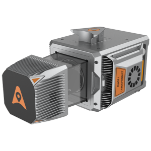
Description
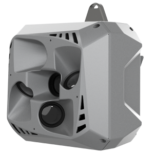
The AA15 delivers 15 mm linear accuracy on long-range scans up to 150 meters using CHCNAV’s patented tilted-prism technology. Its precision ensures reliable data for complex projects, such as corridor mapping, where high-density point clouds are essential.
The AA15 excels in penetrating dense vegetation with its advanced multi-target capability, supporting up to 16 returns per laser pulse. It enables the detection of more ground points, ensuring comprehensive data collection in forested areas and improving the accuracy of terrain models.
The AA15 supports a range of external cameras, including CHCNAV’s 45 MP and 61 MP full-frame calibrated cameras and a 130 MP half-frame oblique camera. The integration of high-resolution imagery with LiDAR data enhances the quality of 3D models and texture mapping.

Reviews
There are no reviews yet.