Mapping & Geospatial
CHCNAV creates advanced hardware and software solutions for mapping and geospatial mass data acquisition, processing, and maintenance. Our lidar and airborne drones reflect the latest developments in laser scanning technology and meet the accelerating demand for smart city applications worldwide.
Mobile Mapping
RELATED PRODUCTS
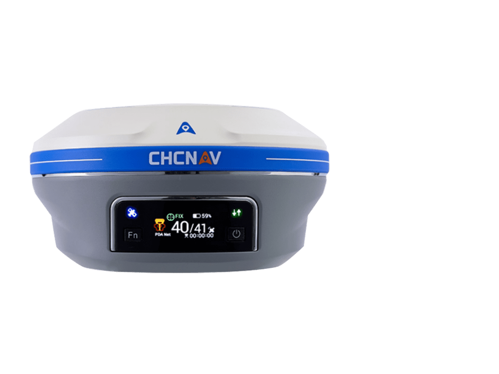
i93 VISUAL IMU-RTK GNSS
Extreme performance receiver with visual power on top

i93 VISUAL IMU-RTK GNSS
Extreme performance receiver with visual power on top

i93 VISUAL IMU-RTK GNSS
Extreme performance receiver with visual power on top

i93 VISUAL IMU-RTK GNSS
Extreme performance receiver with visual power on top

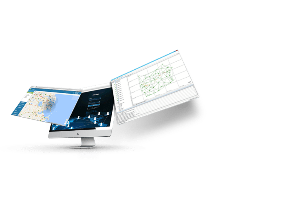
CPS GNSS Network
GNSS RTK Networks Management Software

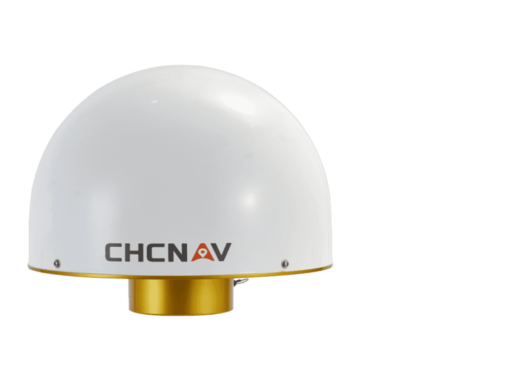
C220GR2
Geodetic GNSS choke-ring Antennae.

Unmanned Aerial Mapping
CHCNAV's Unmanned Aerial Vehicles (UAVs) are extensively used for photogrammetry, land surveying, 3D mapping, and topographic surveying. Many industries, such as construction, oil and gas, infrastructure, archaeology, mining, forestry, and agriculture, have found CHCNAV's solutions a better alternative to traditional surveying methods. Our autonomous, long-range drones with large payload capacity, combined with scanners and cameras, effectively capture 3D data over large areas in a short period of time.
RELATED PRODUCTS
i93 VISUAL IMU-RTK GNSS
Extreme performance receiver with visual power on top

i89 POCKET-SIZED VISUAL IMU-RTK GNSS
Compact high-performance receiver with the visual power on top

i93 VISUAL IMU-RTK GNSS
Extreme performance receiver with visual power on top

i93 VISUAL IMU-RTK GNSS
Extreme performance receiver with visual power on top

i93 VISUAL IMU-RTK GNSS
Extreme performance receiver with visual power on top

i93 VISUAL IMU-RTK GNSS
Extreme performance receiver with visual power on top

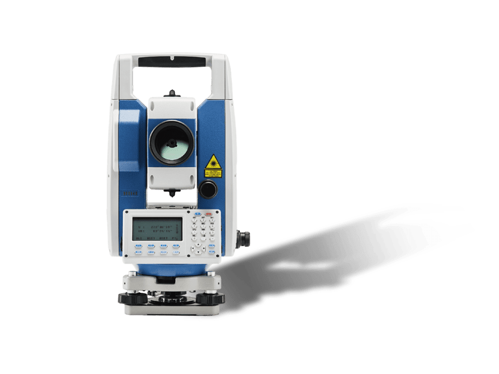
CTS-112R4
Total Station for Construction and Surveying.


