Get Solutions
Developing
Innovative
Solutions

Authorized Supplier of GNSS equipment and provider of GIS services across East Africa.
Read More

Let's get started
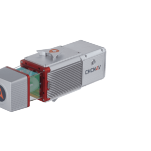
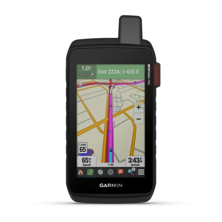
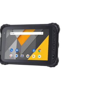
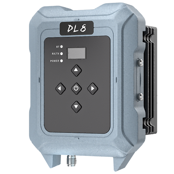
Surveying
Equipment
AcerGIS provides the latest surveying technology to facilitate accurate data collection and analysis. Our surveying equipment is designed to meet the demands of diverse surveying applications..
Read More
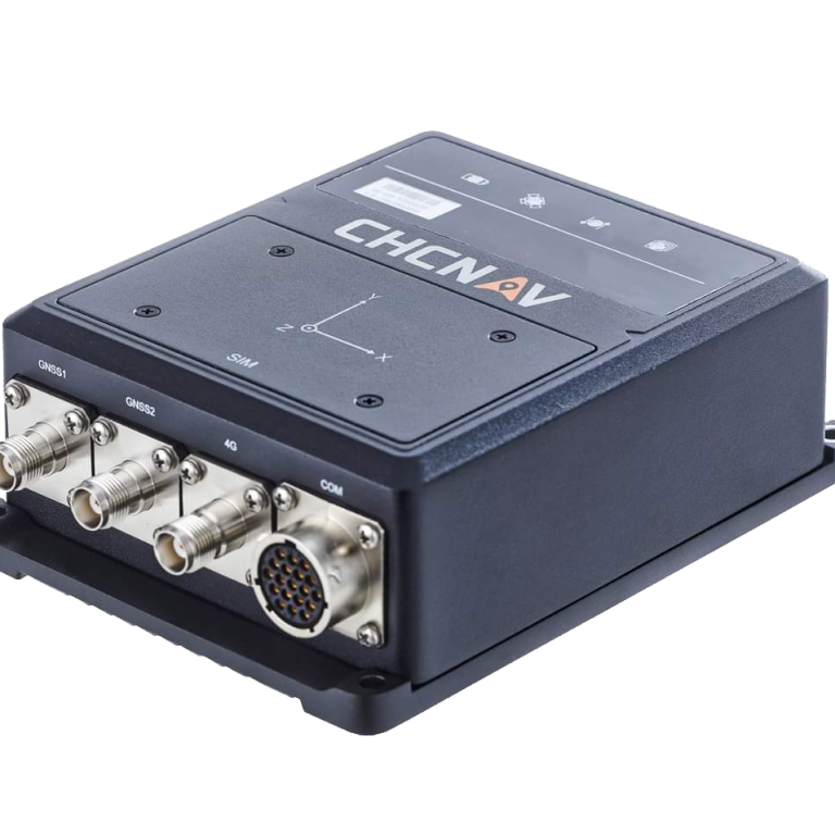
Precision & Innovation
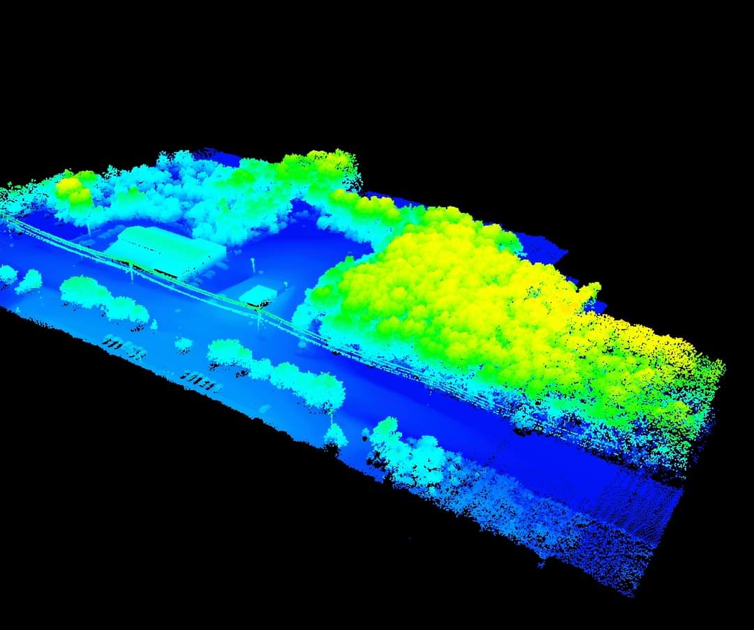
Internet of Things (IoT)
AcerGIS Technologies is committed to innovation. We continuously stay updated with the latest technological advancements, ensuring that our clients benefit from state-of-the-art solutions

Read More


BRIAN H.
Land Surveyor

ALEX WILLIAM
Client

EMILY K
Structural Engineer
BRIAN H.
Land Surveyor